interactive nautical chart planner
Route & Destination Planner
🟢 NO ACTIVE SEVERE MARINE WARNINGS IN REGION
5. Live Navigation
🏷️ Structure Classification Icons Legend (18 Types)

Info
Named waterways and geographic reference points

AI Low Confidence
AI score below 90%

AI Medium Confidence
AI score 90% to below 95%

AI High Confidence
AI score 95% and above

Hazard
Reported danger areas & obstructions

Pier
Fishing piers & elevated platforms
Marina
Marinas & boat berths

Fish Attractor
Structures placed to attract fish

Artificial Reef
Artificial reef sites

Bridge
Bridge crossings

Submerged Bridge
Underwater bridge structures

Rock Ledge
Granite ledges & boulder fields
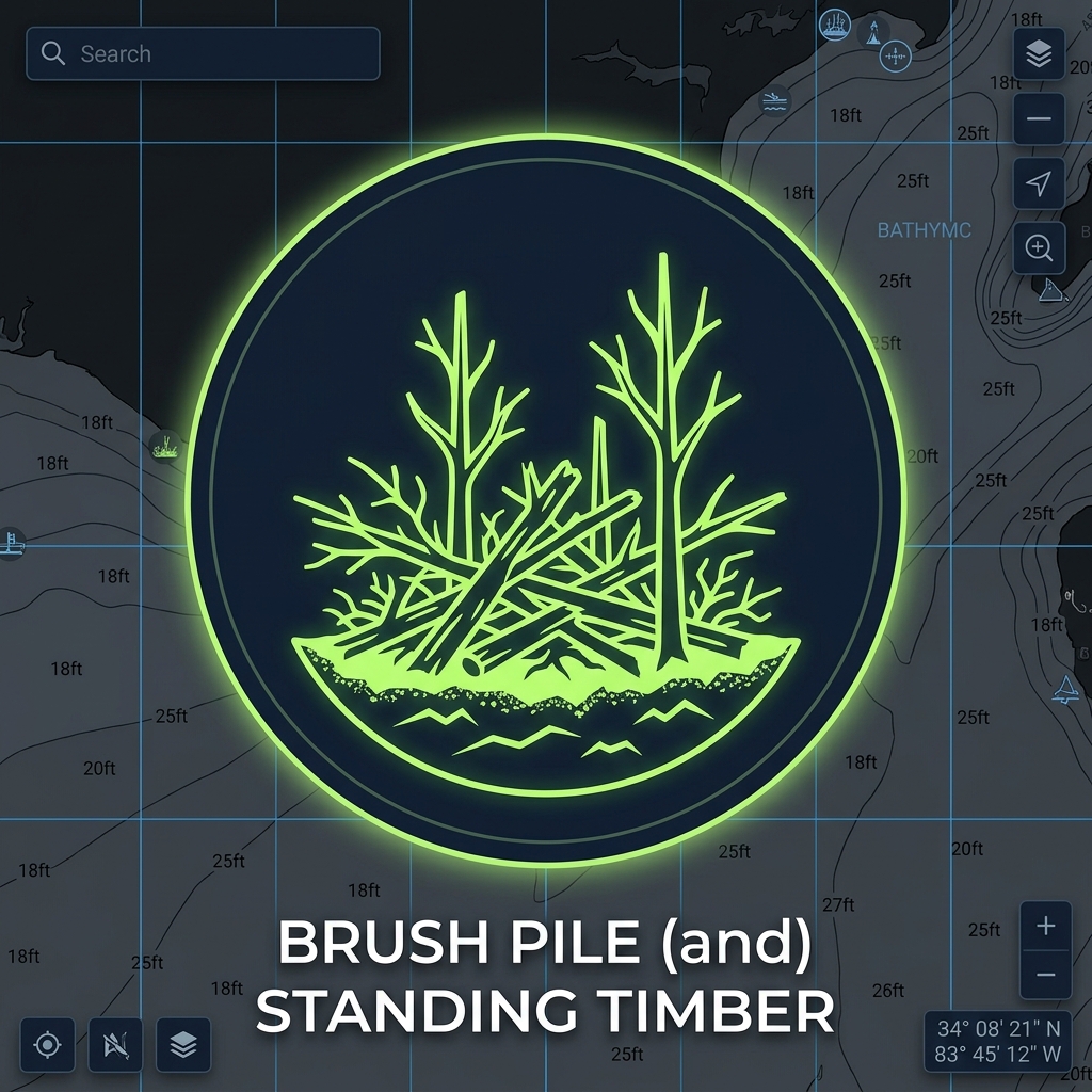
Brush Pile
Standing timber & laydowns
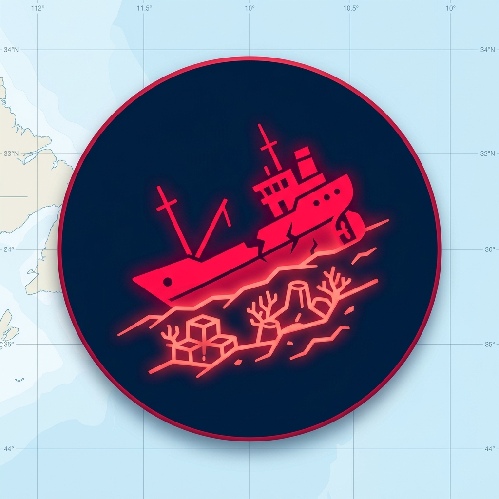
Sunken Wreck
Sunken vessel hulls & wrecks
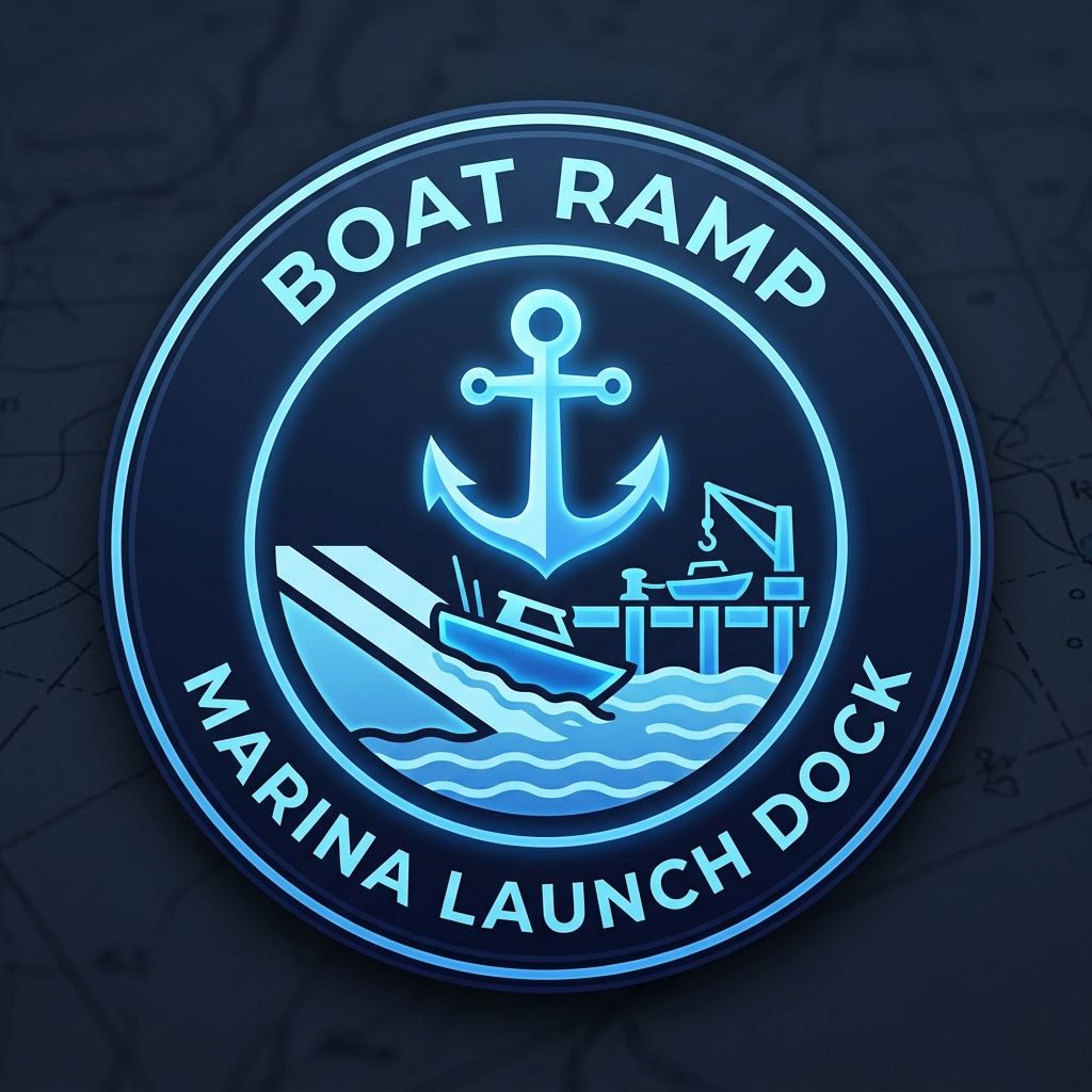
Boat Ramp
Boat ramps & public launches
Drop-Off
Deep channels & humps
Weed Bed
Grass lines & lily pads
Fishing Spot
GPS coordinate point
🤖
AI Satellite & Hydrographic VisionMULTI-SPECTRAL + BATHYMETRIC SLOPE AI
AI Waterbody Structure Scanner — Downed Trees, Steep Drop-Offs, Rock Ledges & Weed Beds
Inspects satellite shoreline canopy, high-albedo rock points, subsurface vegetation, and bathymetric contour breaks to generate AI Waypoint data directly on the chart.
Route Sequence & Waypoints Ledger
0 WaypointsClick or right-click any spot on the chart to view structure details & add it to your trip sequence.
⚓ Launch Point:
Total Trip Distance
0.00 NM (0.00 mi)
Cruising Speed
Knots
Estimated Travel Time
0 min
Est. Fuel Burn & Cost
0.0 Gal ($0.00)
Tank Reserve Usage
0% 1/3 Safe
Route Name
⛽
Marine Fuel Consumption & Range Estimator
RULE OF THIRDS PROTOCOLCalibrate vessel burn rates, forecast fuel expenditure, and ensure safe return reserves before leaving the dock.
Vessel Profile Presets:
Burn Economy
Miles/Gal
Marine Gas Price
$/ Gal
Usable Tank Capacity
Gallons
Max Tank Range121.7 NM
Safe 1/3 Radius40.6 NM
Trip Fuel Burn vs. Tank Capacity (0.0% Consumed)0.0 / 50 Gal
0% (OUTBOUND RUN)33% (RETURN RUN)66% — 100% (MANDATORY EMERGENCY RESERVE)
✅
MARITIME 1/3 SAFE RESERVE CONFIRMED: This route consumes 0.0 gallons (0.0%) with an estimated cost of $0.00. You have 100.0% (50.0 gal) safe emergency reserve remaining in your tank.
📊
Underwater Bathymetric Depth Profile & Draft Hazard Sonar✅ ALL LEGS CLEAR OF 4 FT SAFE DRAFT
2D DownScan cross-section along your planned route. Hover any contour to ping its exact coordinate on the chart.
🚨 Min Safe Draft: 4 ft
Shoalest Route Depth
—
Safe Draft Alarm set to ≤4 ft
Max Channel Basin Depth
—
Deepest water along planned track
Prime Ledge Break Drop
—
Add 2+ stops to analyze ledges
💨 Wind & Spot-Lock Vector
11 mph SW (G 16)
Bow 225° SW • Cast 45° NE
Add at least 2 waypoints on the chart to render the live 2D underwater bathymetric cross-section & draft hazard sonar graph.
💨
MODERATE FISHING CHOP • PRIME WIND-BLOWN BITE (11 mph SW, Gusts 16 mph)
Baitfish are pushed onto wind-blown main-lake points & riprap banks — prime conditions for reaction baits (spinnerbaits, crankbaits, jerkbaits).
⏱️
Tournament Check-In & Sunset Time-Budget Scheduler (“Must-Leave-By” Alarm)MUST LEAVE BY 2:50 PM
Calculates exact Arrival & Departure clock times for every route stop and a live “Must Leave Final Spot By” alarm from your Safe Waterway Return distance (0.00 NM @ 25 kt).
Return Deadline Presets:
1. Launch / Blast-Off Time6:30 AM
2. Avg Fishing Time / Spot
min/stop
3. Weigh-In / Sunset Deadline3:00 PM
4. Check-In Safety Buffer10 min cushion
10m
🚨 Must Leave Final Spot By
2:50 PM
0m return run (0.00 NM @ 25 kt) + 10m buffer
Planned Final Spot Departure
—
Add route stops to calculate schedule
Est. Weigh-In / Ramp Check-In ETA
—
Deadline: 3:00 PM (Sunset 5:20 PM)
Total Fishing vs. Running Time
🎣 0m Fish • 🚤 0m Run
⏳ Live Clock: 10h 47m until Must-Leave-By
No waypoints in current route. Select a lake from the toolbar or click spots on the chart to start building your trip.
📂 Cloud Synced Routes & Vessel Tracks
0 Trips in CloudAll routes saved here automatically sync in real-time with the ReelPoints Fishing mobile app and connected marine devices.
No saved routes found in cloud database. Build a route above and click "Save Trip to Mobile App" to sync.
🌙 Solunar Bite Predictor
Loading solunar moon data...
⚓ Anchor Watch Guard
Set a GPS drift perimeter (150 ft radius) to alert if your vessel drags anchor outside the safe swing zone.
💾 Trip Saver & Navigation
Cloud-sync your planned waypoint sequence and safe return route directly to the ReelPoints mobile app.
📡 Live Weather Radar
Toggle live Doppler precipitation radar on top of map charts.